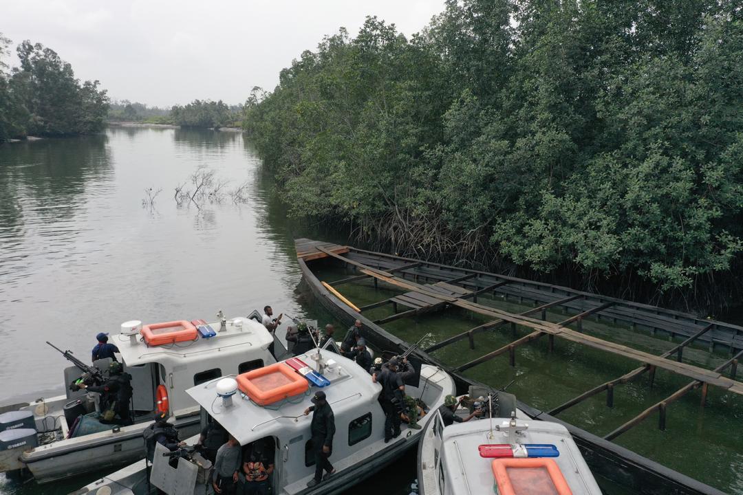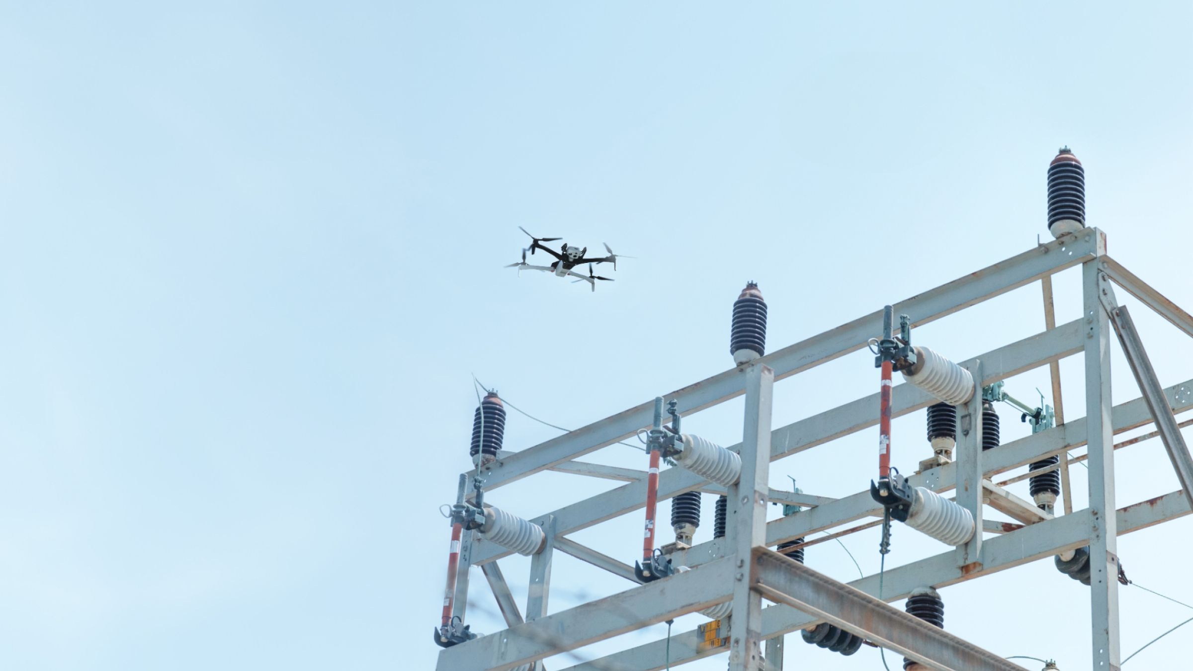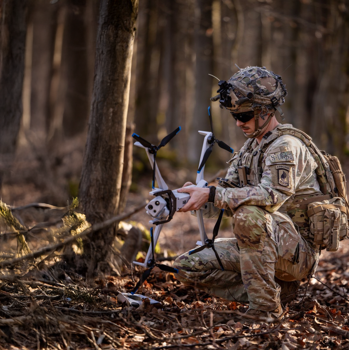
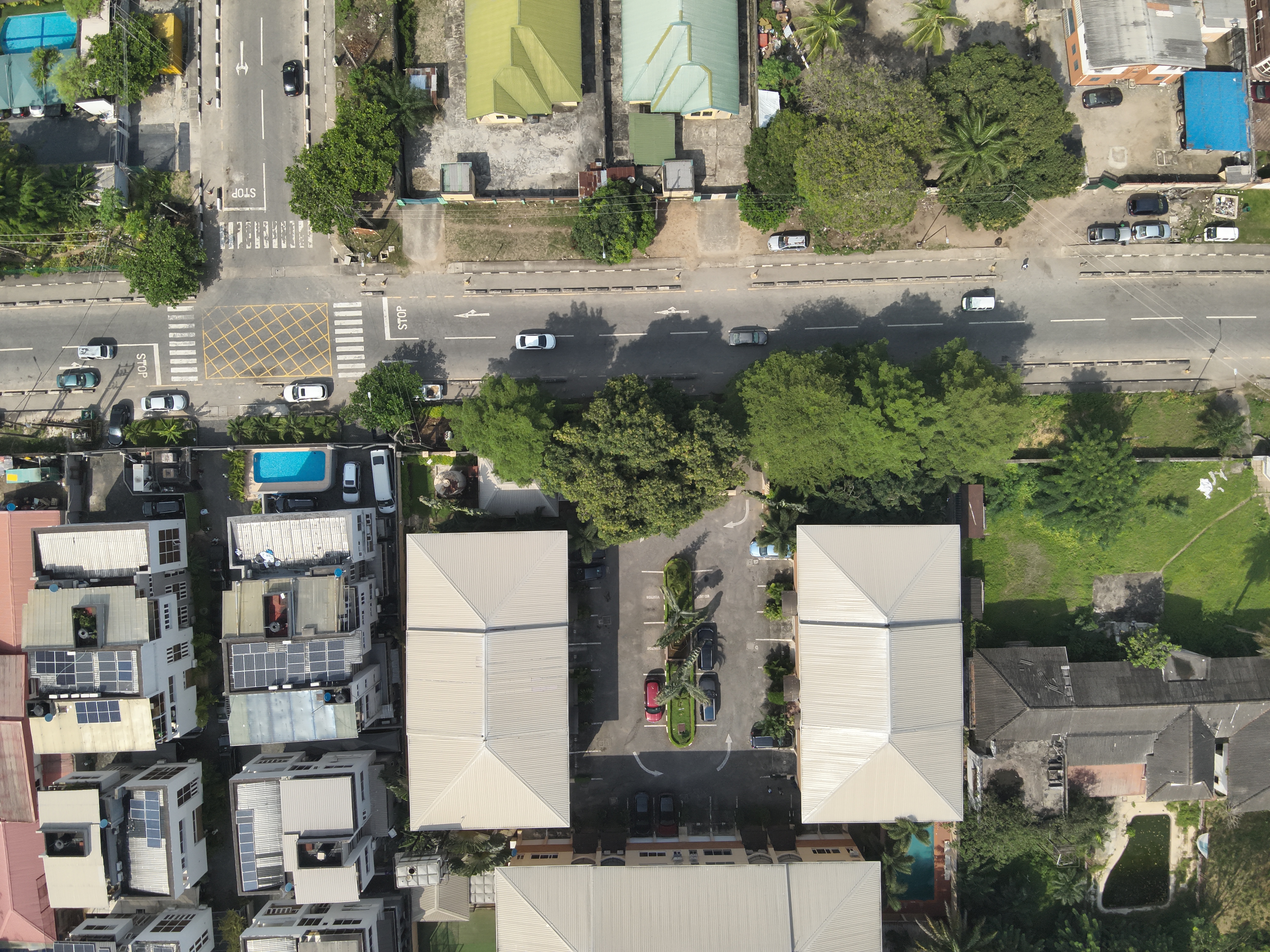
Aerial Mapping & Surveying
Aviadrones utilizes cutting-edge drone technology to provide high-resolution aerial mapping and land surveying. Our drones capture accurate geospatial data, assisting construction companies, environmental agencies, and land developers in making precise decisions.
Learn More